From Drone Crash to AR Innovation: The Birth of Arboreal
Johan Ekenstedt
05 May 2019
Five years ago, I borrowed a drone. My goal was simple: to explore its potential applications in forestry. Little did I know that this experiment would set me on a path to revolutionize how we collect and process forest data.
The Drone Experiment
It didn't take long to realize the drone's potential for generating 3D forest data. By comparing images captured during flights, computers could create detailed 3D models of the surveyed area. However, the process was complex and time-consuming, often yielding less-than-ideal results.
A Setback and a New Direction
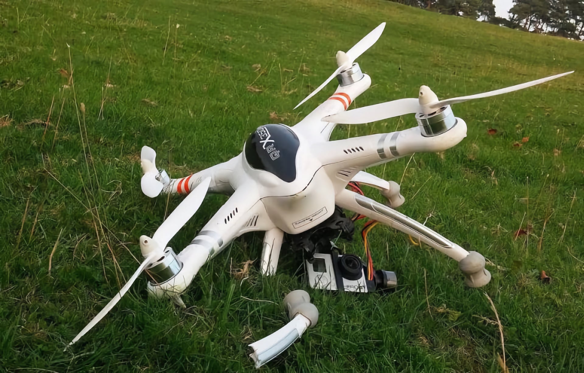
Drones weren't as advanced then as they are now. On a windy day, I lost control of the aircraft. I watched in horror as it drifted out of sight, its battery depleting rapidly. The drone crashed, and with it, my hopes for an easy way to collect forest data.
But from this setback, a new idea emerged: Could we use the same technology without sending anything into the air?
From Drones to Smartphones
I grabbed my smartphone and started taking numerous pictures of the forest. Back at my computer, I stitched these images together. To my excitement, tree trunks were clearly visible, and I could measure their diameters. However, the process was still too time-consuming for practical use.
The AR Revolution
Fast forward to autumn 2017. Apple and Google released their AR (Augmented Reality) technologies for iOS and Android, respectively. Suddenly, 3D environments could be processed in real-time. What once took minutes was now available in seconds.
The dream of leaving manual forestry tools behind and having everything in your phone was suddenly within reach. And thus, Arboreal's journey began.
The Vision Becomes Reality
Imagine being able to leave all your manual forestry tools behind and carry everything you need in your smartphone. This vision drove us to develop Arboreal's suite of digital forestry tools.
Our AR-based applications allow foresters to:
- Measure tree diameters with precision
- Calculate tree heights instantly
- Estimate timber volumes
- Conduct forest inventories efficiently
All of this is possible with just a smartphone, making forestry work more accessible, efficient, and accurate than ever before.
Looking to the Future
From a crashed drone to cutting-edge AR technology, our journey at Arboreal has been one of innovation and perseverance. We're excited about the future of digital forestry and the role we're playing in shaping it.
As we continue to develop and refine our tools, we remain committed to our original vision: making forestry work simpler, more efficient, and more accurate through the power of technology.
We invite you to join us on this exciting journey. Whether you're a professional forester, a woodland owner, or simply someone interested in the intersection of technology and nature, there's a place for you in the digital forestry revolution.
Stay tuned for more updates, and don't hesitate to reach out if you want to learn more about how Arboreal is transforming the world of forestry, one smartphone at a time.